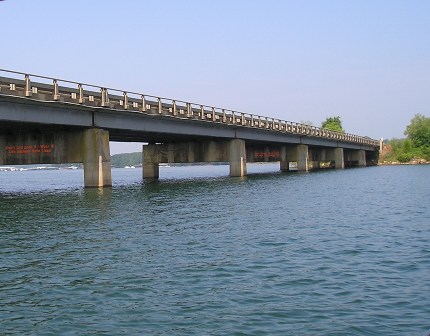
Recreation Areas – Bridge Clearances
 The information on this page may contain errors. Use this information as an approximation only. Always slow down and insure you have adequate clearance before proceeding under a bridge. Not all bridges are represented. All clearances are at Full Pool which is 660' Elevation. Clearance must be corrected for variations in lake level from full pool. Clearances are given in feet. Wind and wave action also need to be considered when navigating under bridges.
For daily lake elevations click on the following link: Lake Level Mgmt.
| SENECA RIVER |
SC 24 |
672.5 |
12.5' |
| SENECA RIVER |
I-85 |
676.5 |
16.5' |
| SENECA RIVER |
SC 37 & RR |
669.5 |
9.5' |
| SENECA RIVER |
SC 28 |
671.5 |
11.5' |
| SENECA RIVER |
US 123 & 76 |
670.0 |
10.0' |
| 26-MILE CREEK |
SC 24 |
671.5 |
11.5' |
| 26-MILE CREEK |
SC 71 |
667.5 |
7.5' |
| 26-MILE CREEK |
US 76 & SC 28 |
670.0 |
10.0' |
| 26-MILE CREEK |
US 178 |
669.5 |
9.5' |
| TUGALOO RIVER |
I-85 |
671.0 |
11.0' |
| TUGALOO RIVER |
US 123 |
671.0 |
11.0' |
| TUGALOO RIVER |
GA 184 & SC 160 |
668.5 |
8.5' |
| 23-MILE CREEK |
I-85 |
681.0 |
21.0' |
| 23-MILE CREEK |
SC 71 |
668.5 |
8.5' |
| KEOWEE RIVER |
SC 27 |
668.0 |
8.0' |
| LIGHTWOOD LOG CREEK |
GA 51 & GA 77 |
669.5 |
9.5' |
| FAIR PLAY CREEK |
I-85 |
671.0 |
11.0' |
| CONEROSS CREEK |
S-184 |
668.0 |
8.0' |
| MARTIN CREEK |
S-65 |
668.0 |
8.0' |